
Getting to Know Southwest Edmonton
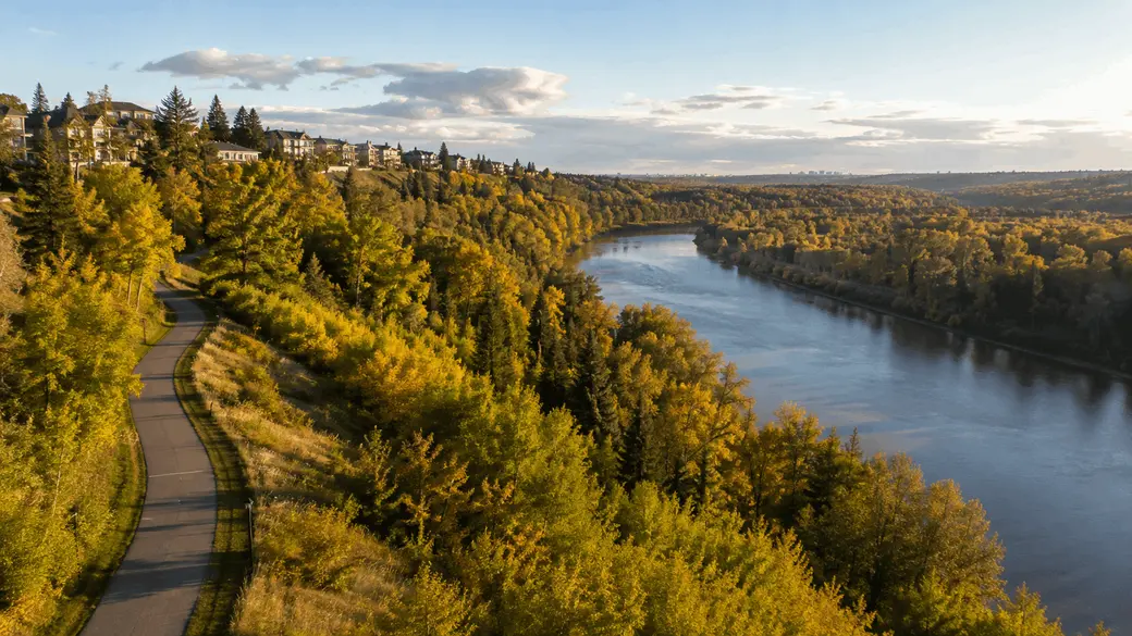
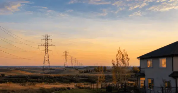
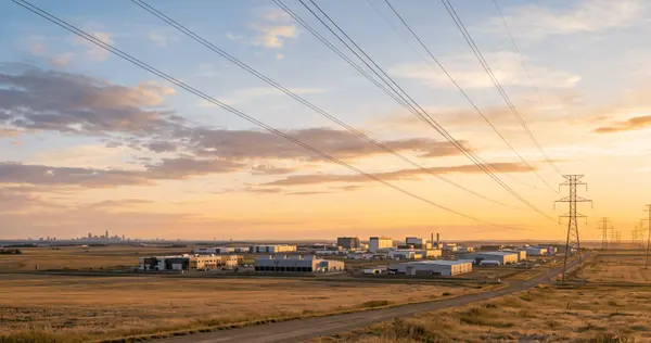
Image is an artistic representation and may not depict the actual property or location.
Ask someone where Southwest Edmonton is and the answer depends on when they arrived. Someone who bought in the 1970s pictures Riverbend or Aspen Gardens. A newer arrival pictures Windermere or Chappelle. A university student pictures Garneau. All three are right, which is what makes this quadrant hard to sum up in a sentence. It holds streets laid out before the First World War and communities still under construction. Here is a tour of the whole thing.
What actually counts as Southwest Edmonton
On the REALTORS Association of Edmonton zone map, Southwest Edmonton is made up of zones 14, 15 and 16. That reaches from the university campus and the river valley in the north, south through the mature neighbourhoods built in the 1960s, west out to Riverbend and Terwillegar, and down to Heritage Valley at the Anthony Henday. It is one of the largest and most varied parts of the city, and the price range inside it is about as wide as anywhere in Edmonton.
One clarification, because it comes up often. South Edmonton Common sits east of Gateway Boulevard, which places it in the southeast rather than here, even though plenty of Southwest residents shop there.
The university area and the mature north
Zone 15 covers the oldest ground in the quadrant. Garneau is one of Edmonton's earliest neighbourhoods and was part of the City of Strathcona before 1912. Belgravia borrows its name from the London district and once marked the southern end of the Edmonton Radial Railway. Windsor Park was created in 1911, though most of what stands there today went up in the 1950s.
What ties this group together is walkability. The University of Alberta north campus, the University Hospital, the Jubilee Auditorium and HUB Mall are reachable on foot, and Whyte Avenue is close enough that many residents seldom drive to it. Three LRT stations serve these communities, including McKernan Belgravia at 114 Street and 76 Avenue. Add Allendale, Queen Alexandra, Pleasantview, Lendrum Place, Malmo Plains and Empire Park and you have a band of established housing that trades yard size for location.
The established middle
South of Whitemud Drive sits a run of neighbourhoods built largely in the 1960s. Aspen Gardens was developed on land annexed to the city in 1960, planned around executive style homes on rolling topography, and the tree canopy shows it now. Royal Gardens took shape over the same stretch and was largely finished by the 1970s, bounded by Whitemud Drive, 40 Avenue, 119 Street and 111 Street.
Duggan, Greenfield, Rideau Park and Westbrook Estate fill in around them. For a lot of buyers this group is the value sweet spot of the quadrant: mature lots, established schools and quick Whitemud access, without paying for new construction.
Kaskitayo, Blue Quill and Twin Brooks
Further south is the Kaskitayo district, made up of Bearspaw, Blue Quill, Blue Quill Estates, Ermineskin, Keheewin, Skyrattler, Steinhauer, Sweet Grass and Twin Brooks. Blue Quill and Blue Quill Estates are named to honour Chief Blue Quill of the Saddle Lake Band.
The housing mix here is broader than people expect, running from single and semi detached homes through row housing and apartments, which makes it one of the more accessible entry points in the quadrant. Blue Quill has a commercial centre along Saddleback Road and a community league hall with an outdoor rink and courts at 113 Street and 25 Avenue. Blackmud Creek Ravine touches the southwest corner, and Century Park anchors the area for transit and shopping.
Riverbend
Riverbend is a cluster of communities developed between the 1970s and the 1990s, and locals split it in two. Old Riverbend sits west of Terwillegar Drive and takes in Brander Gardens, Brookside, Ramsay Heights and Rhatigan Ridge. The newer side, east of Terwillegar Drive, includes Bulyea Heights, Carter Crest, Falconer Heights, Henderson Estates and Ogilvie Ridge.
The draw is the ravine system. Brander Gardens looks over the river valley toward Fort Edmonton Park, and Ogilvie Ridge is built into the natural topography. Housing runs from condos up to estate properties, sometimes on the same block.
Terwillegar, Windermere and the newer west
West and south of Riverbend the map turns newer. Terwillegar Towne, Magrath Heights, Ambleside, MacTaggart and Windermere were built mostly in the last few decades, so streets are wider, parks were folded into the plans rather than added later, and getting onto the Anthony Henday is quick.
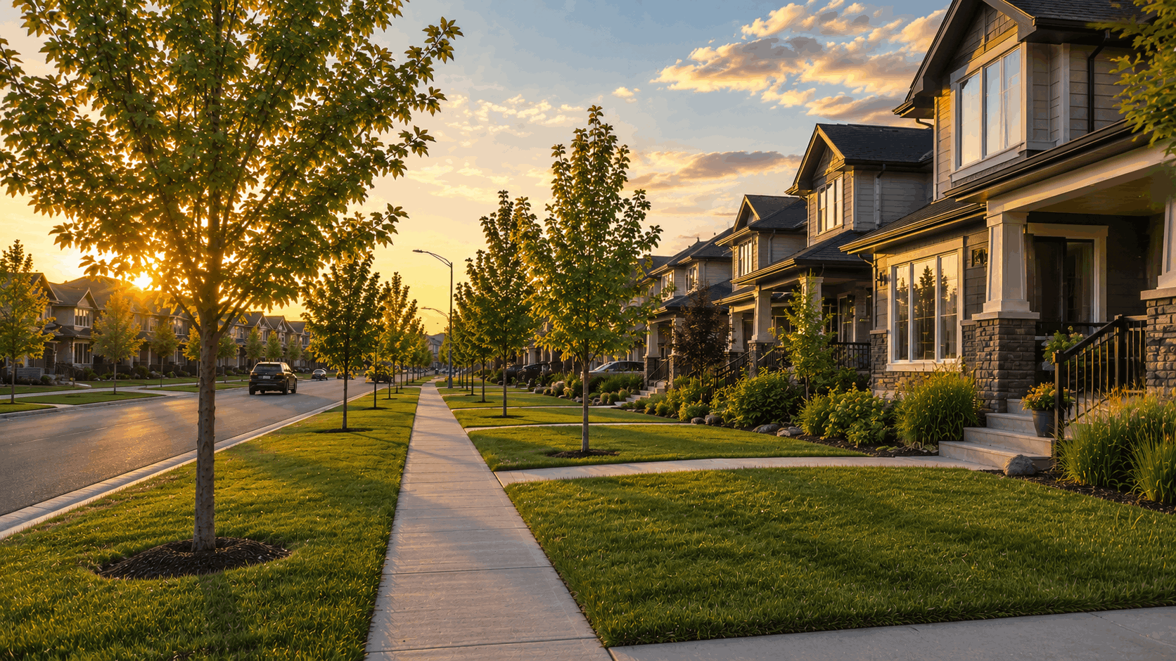
Windermere carries the retail through the Currents of Windermere. Many of the newer builds in this pocket were designed with basement development in mind, which is why investors pay attention to legally suited homes out here.
Heritage Valley and the growing south
Heritage Valley is the largest growth area in south Edmonton. Established in 2001, it takes in roughly fifteen sub neighbourhoods including Allard, Callaghan, Cavanagh, Chappelle, Desrochers, Graydon Hill, Hays Ridge and the Heritage Valley Town Centre, with a planned build out of about 99,000 people. This is where much of the quadrant's new construction is happening.
The trade off is the familiar one. You get a current floor plan and a home nobody has lived in, and you accept that some amenities and the tree canopy are still on the way.
Getting around, and what is changing
Two projects matter for anyone buying here. Terwillegar Drive is being converted to an expressway in stages. Stage 1, the widening between Haddow Drive and Whitemud Drive, was completed in spring 2024. Stage 2, which includes the Rainbow Valley Bridge, is anticipated to finish in 2026, and Stage 3 is underway.
The Capital Line South LRT extension is also under construction, running 4.5 kilometres from Century Park to just north of Ellerslie Road, with stations at Twin Brooks and Heritage Valley North. In the short term that means roadwork, including 111 Street at one lane each way near the Blackmud Creek Bridge until fall 2026. Longer term it means rail service into the fastest growing part of the quadrant.
Room to move outdoors
The river valley runs the length of the quadrant as part of an 88 kilometre continuous park system stretching from Devon to Fort Saskatchewan. Whitemud Park offers multi use trails, picnic sites and a toboggan hill. Snow Valley, just off the Whitemud at 119 Street, runs seven ski runs from mid November through the end of spring break.
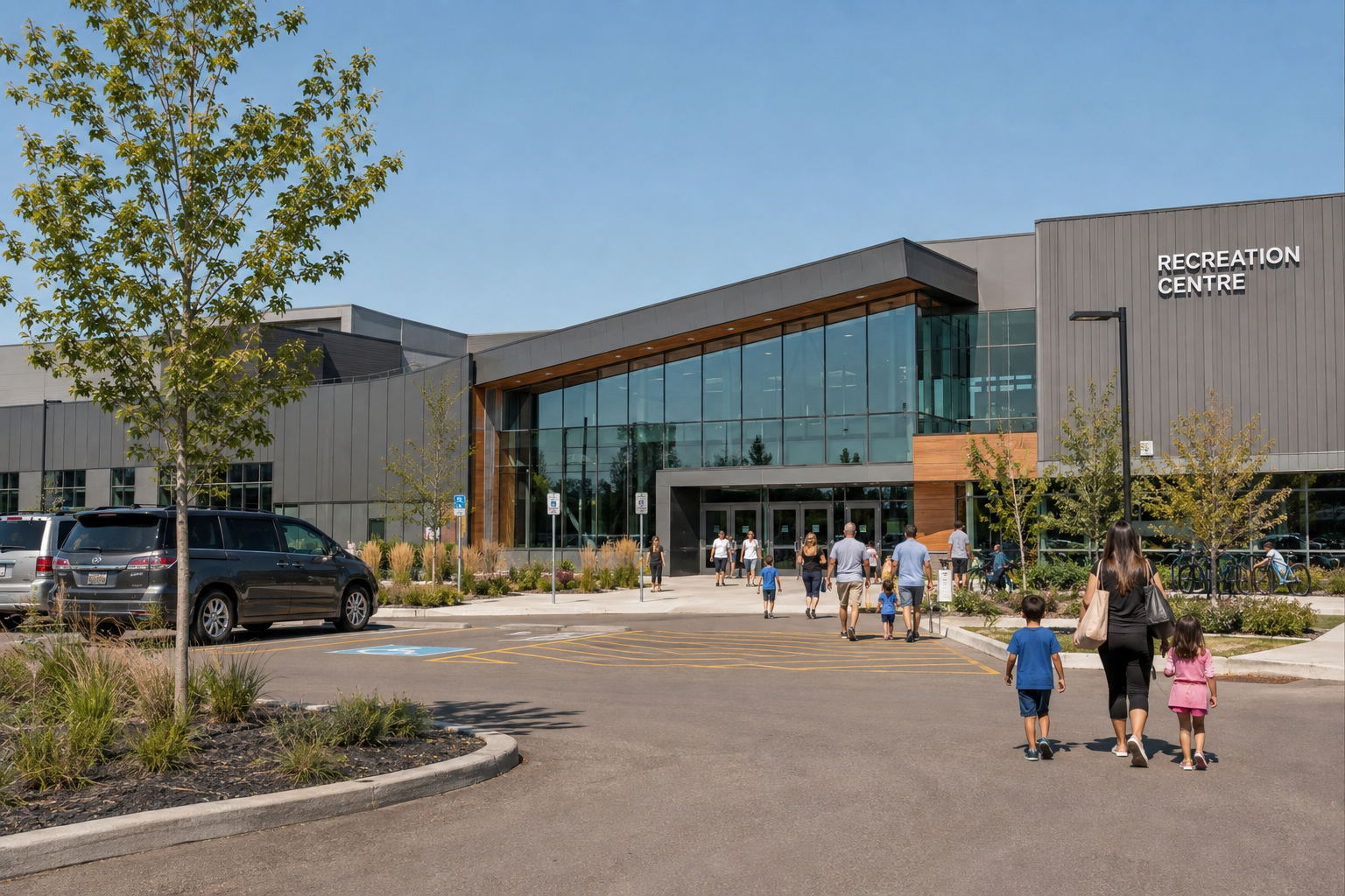
Indoors, the Terwillegar Community Recreation Centre anchors the west end with three full gymnasiums, an indoor track, four sheets of ice and an aquatic centre with two saltwater pools and a lazy river.
A quick way to compare
| Area group | Mostly built | Tends to suit |
|---|---|---|
| University area | Pre 1912 to 1950s | Walkability, campus and hospital access |
| Established middle | 1960s to 1970s | Mature lots and value |
| Kaskitayo and Blue Quill | 1970s to 1980s | Transit access and mixed housing types |
| Riverbend | 1970s to 1990s | Ravine trails and family housing |
| Terwillegar and Windermere | 1990s to 2010s | Newer homes and recreation |
| Heritage Valley | 2001 onward | New construction and modern layouts |
To see what is currently on the market across all of this, browse our listings or the Southwest Edmonton area page. The City of Edmonton site is a solid reference for construction timelines and park information.
That is the useful conversation, because these areas are very different from one another. Tell me your budget, commute and must haves through the contact page and I will narrow it down to the handful of communities worth your weekends.
Categories
Recent Posts




"My job is to find and attract mastery-based agents to the office, protect the culture, and make sure everyone is happy! "